
Our end-to-end solution enables seamless integration into your day-to-day work and offers a wide range of customisable tools that are tailored to your individual requirements.
MaM MapEdit is the software platform for your infrastructure management.
We understand the unique requirements and expectations of each industry. Linking large amounts of data with a spatial reference forms the basis for successful digitalisation. We go beyond simply knowing the ‘who’, ‘what’ and ‘how’ and place an additional focus on the ‘where’.
With our customised solutions, we offer practical solutions for almost every application. From data capture workstations and a practical information desk to mobile solutions such as apps and portals.
Municipal customers, utilities and industrial companies successfully implement new business processes with MaM MapEdit.
We see ourselves as bridge builders who connect worlds and thus help our customers to be more successful.
MaM goes beyond conventional boundaries and creates a unique synergy between comprehensive industry expertise and state-of-the-art technology.
With MaM MapEdit, you not only have a software platform, but also a reliable partner at your side. We support you in organising your work processes more efficiently, implementing innovative solutions and thus successfully achieving your business goals.
Discover the world of MaM MapEdit – your key resource for effective infrastructure management.
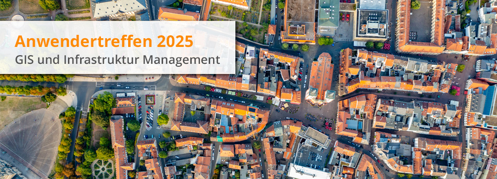
From 21. – 22. Mai 2025 in Fulda
Two exciting days full of knowledge transfer, practical presentations and networking with industry experts and colleagues from the field of GIS and infrastructure management await you. This year’s user meeting will enable you to gain in-depth insights into the latest technologies and methods. These will make your day-to-day work easier and offer sustainable solutions for modern challenges.
MaM MapEdit is a modern and powerful solution for your infrastructure data that covers everything from planning to recording, management, documentation and visualisation – quickly, securely and easily.
The intuitive user interface enables efficient use, so you can focus on what’s important – working with your data.
Thanks to sophisticated system architecture, you edit data in real time, capture new information or update existing data. Always be up-to-date to ensure accurate and complete documentation.
No matter if 2D or 3D, MuM MapEdit offers you all necessary functions – developed from practice for practice.
Your projects are in good hands with us.